When I first began this blog, I took a much different approach than I do now. I shared detailed trip reports, as well as processing ideas, and techniques I’ve learned from my own experimentation, as well as from other photographers. While I still take a heavy interest in these subjects, the blog has sort of evolved and settled into a rhythm of its own.
This blog has become about place.
Sometimes, however, its necessary to discuss the process of finding those places. A few posts ago, I wrote about the use of guidebooks, etc, to help guide photography trips. While I don’t use guidebooks at a crutch for my creativity, I do rely on them, in the same way as I might rely on a friend to show me around a new area. However, a well-written guide is tough to come by.
A few months ago, my friend Bret Edge and his collaborator Dan Baumbach began publishing several editions of iFotoGuide, an app available for iPod and iPhone, that guides photographers to many of the more photogenic locations in our national parks. To date, they’ve published three editions: Yosemite, Grand Canyon, and Arches national parks. Bret offered me a download of the Grand Canyon edition, and I had a chance to try it out on my recent Grand Canyon visit.

Main Menu
When you first open up the App, you see a main menu with several options. In addition to the location-specific options I’ll talk about in a second, a few that really stuck out to me were:
– The sunrise-sunset table. Even though I look up the exact sunrise and sunset times before I leave home, its sometimes nice to be able to look it up in the field. The table they included in the App was extremely helpful.
– Additional resources. Because I’m so involved with the concept of ‘sense of place’ I very much enjoy getting to a place by reading about its ecology, history, etc. This link from the main menu gives the photographer a whole host of references to begin looking for new and exciting reading resources.
In addition to these highlights, there is also a ton of information about the region of each park. There are addresses and phone numbers for several hotels, campgrounds, restaurants, etc. There is also detailed weather and general information about the parks. For the traveler who gets stuck with a surprise, these resources could become invaluable very quickly. Finally, iFotoGuide has partnered with several affiliates, providing the user discounts to their services as well.
The photography-specific resources are also top notch. There is a comprehensive list of photo locations, organized conveniently and intuitively as ‘sunrise locations,’ ‘sunset locations,’ and ‘all day locations.’ In the Grand Canyon, one must rely on shuttles, and the directions to each of these locations also give shuttle information. The locations are described accurately, and give suggestions on what might make effective compositions. The authors also took the time to describe alternates to each location, since in the Grand Canyon, the popular overlooks are just that–very popular.
To me, the most unique asset of iFotoGuide is the interactive map. What Bret and Dan have done is take the Park Service map (you know those), and they’ve put virtual “pins” in the map, on which you can click and get photos of a location as well as information about photographing that location. I think this is super cool. However, its also the root of my biggest (and really only) nit about iFotoGuide. About half of the time I tried loading the interactive map, it crashed the App while loading. I tried rebooting my iPod and the issue persisted. I’m also not sure if its an OS issue (my iPod OS is pretty old). At any rate, it did prevent me from trying to use the feature more than I would have.
To sum it up, the iFotoGuide is a well-written, convenient and super informative resource for the photographer. And, at $4.99, it won’t break the bank.
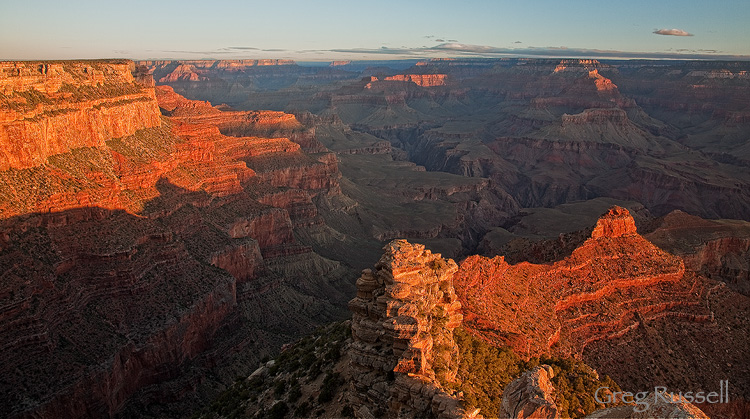
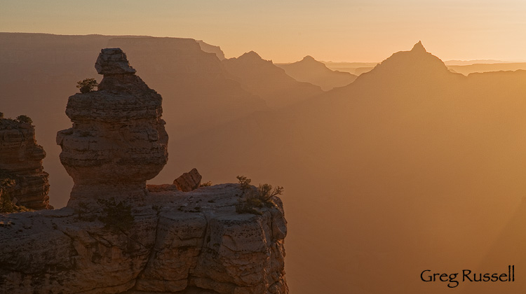
Cedar Ridge sunrise, May 2011

