Personal

...now browsing by category


Remembering grizzly bears

Friday, February 5th, 2021

Grizzly bears have been on my mind lately. The mammal that graces California’s state flag was been extirpated from the state almost 120 years ago. However, its legacy remains ubiquitous. Today, we normally associate this holarctic bear species with the northern Rockies–Idaho, Wyoming, Montana. Wilderness travel in these places usually means you carry bear spray in addition to protective measures for food. We occasionally hear of either unwitting or ignorant hikers suddenly learning of their true place in the food chain.

During their reign in California, grizzlies had a surprisingly large range. Biologist C. Hart Merriam initially described at least seven subspecies of Ursus arctos in California, based solely on skull morphology*. In addition to the obvious High Sierra locales, grizzlies were historically common in every major mountain range all the way to the coast. There, they certainly would have feasted on whale carcasses.
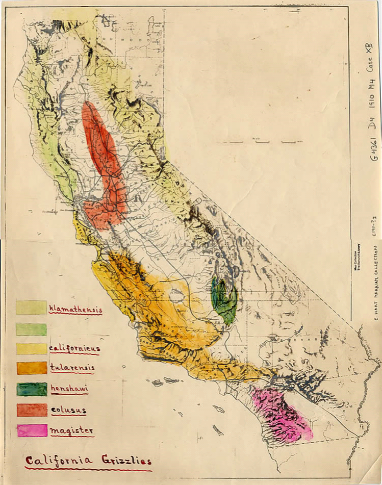
map of California with hand colored ranges of grizzly bear subspecies
C. Hart Merriam’s original hand-drawn map of grizzly bear subspecies in California

One of these subspecies, U. a. magister, called Southern California its home. The Santa Anas, San Jacintos, Cahuilla Mountain, and eastward to the Santa Rosas all were part of magister’s range.

All of these mountain ranges now contain federally designated wilderness areas. Wilderness was conceived in an effort to preserve land in its uninhabited state. This is a very European notion, and one that has received some rightful pushback. The irony is clear: wilderness protects the land and the species that live there, but not the ones deemed too fearsome. Even with our best intentions to conserve, our fear of “the other” pervades. In 1924, California’s grizzly bear was declared officially extinct.

I think about this paradox often when I visit these wilderness areas as part of my Wilderness Project. Recently, I was in the Beauty Mountains, a low lying mountain range on the south edge of the Cahuilla Valley. Looking at the panoramic view around me, I could see every major mountain range in the region. Not far enough from civilization, I heard dogs barking, cars, and at least two mariachi radio stations filling the silence. Still, as the sounds of rural Southern California drifted upward there was room for my imagination to wander to bears.
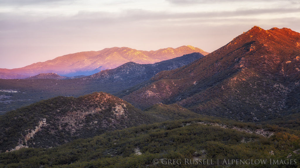
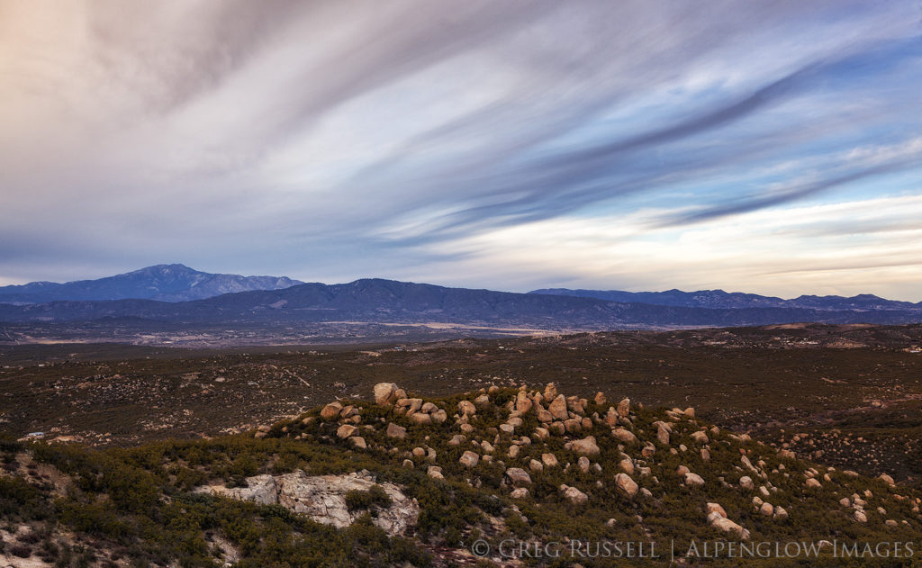
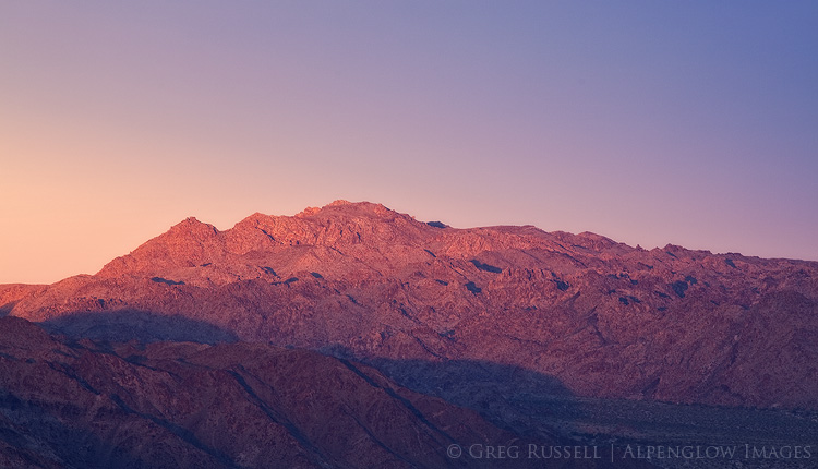
Photograph of the Santa Rosa Mountains illuminated by dramatic sunset colors.

Photograph of San Jacinto Peak underneath dramatic ominous storm clouds.

Laying on a slab of granite, I closed my eyes for a bit. I had been hiking for several hours and wanted to wait until closer to sunset to photograph more. When I shut my eyes, I could picture in my mind’s eye the landscape before me. In it, a grizzly bear lumbered through the Cahuilla Valley, as it might have done 150 years ago. It was flipping rocks and in no hurry at all, working its way toward Million Dollar Spring on its way to higher elevation.

The intent of the Wilderness Project is to document the character of my home range in Southern California. The way I’ve chosen to tell that story is evolving. The images I share with you are partially documentary, but they document these places as I experienced them. I photographed things I have found subjectively significant.

Like grizzlies that once roamed Southern California, my imagination drifts to the stories these landscapes tell. I visualize these wildernesses as a finished story with a deep sense of place. The interconnected map of my home and the finished images are starting to creep through the periphery of my sight line. This gives me brief moments of joy. This project has given me some of my most exhilarating creative moments as a photographer. All this is to say that the project is not drudgery, but a great source of inspiration. Your experience may vary, and it should. For if you visit these places with the sole goal of following in my footsteps, you’re doing it all wrong.

I am heartened by efforts to create habitat bridges and rewild California. Additionally, painting wild nature as our neighbors rather than the other is a long overdue shift in thinking. In my mind, this is a sustainable way of thinking. Grizzlies are the ghosts of California’s wilderness and may never return to Southern California. Can we honor their legacy by telling the story of wilderness today? I can’t go back in time to tell their story, so my goal is to tell the story of the wild nature of my home. One thing I know for sure: these mountains remember grizzly bears.
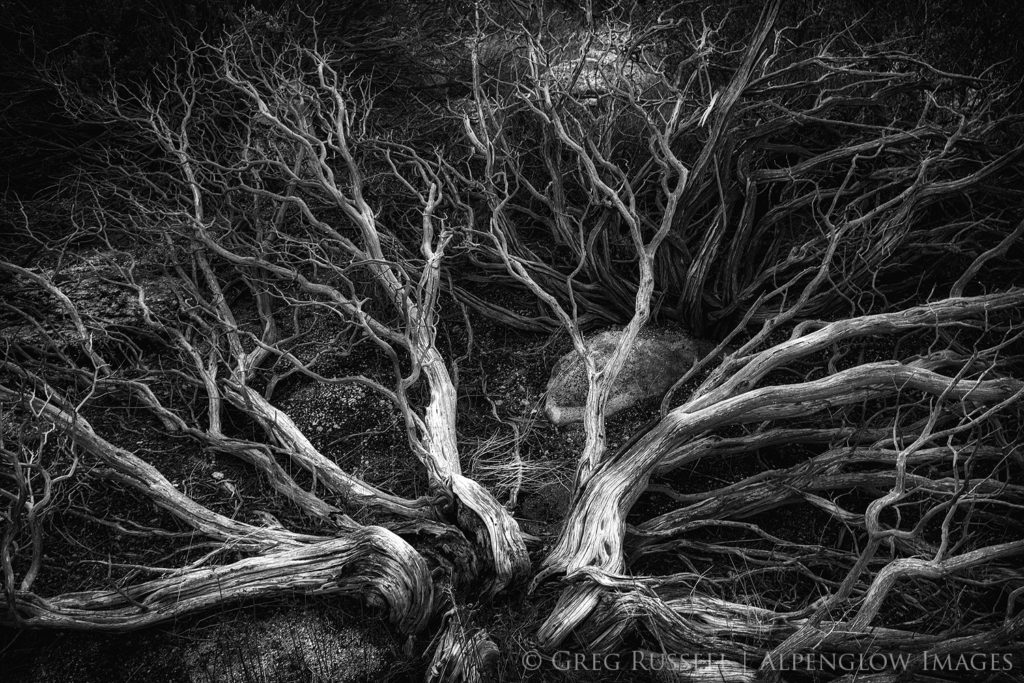

Black and white skeleton of a manzanita skeleton in the BeautyMountains of Southern California.

*Grizzly bears are highly variable in terms of skull morphology, which is not the best indicator of genetic variability. Today, there is one accepted subspecies of California grizzly bear: Ursus arctos californicus.

2018 Year in Review

Monday, December 31st, 2018

My traditional 2018 year in review is arriving a little later than usual. I’m writing this on a snowy day in northern New Mexico reflecting on a year that was unusually light in terms of photography. If you follow my blog, you’ll have noticed that I haven’t made many images since February.

In 2018, my favorite images came from little-known landscapes. At the beginning of the year, I focused heavily on my Wilderness Project, and was able to discover some pockets of wilderness in southern California that I did not know existed. In addition to it being a year light in photography, the majority of my photographic efforts were close to home–this is the first year I haven’t traveled much to make images.

One unexpected result of my Wilderness Project has been the opportunity to confine myself to a particular area on the map, and get to know the personality of places that may be geographically close to one another, but in reality are quite unique. Bringing that out photographically has been challenging and satisfying.

One of the photographic highlights of the year was to be invited onto Matt Payne’s popular podcast F-Stop Collaborate and Listen. It was nice to be able to chat about ethics in landscape photography, the impact (both good and bad) photographers have on public lands, and my goals for the Wilderness Project. The episode should air in early 2019. Thanks, Matt!

The BIG highlight of the year, however was my engagement, and upcoming wedding January 4. As such, the lack of photography was backfilled with several other equally happy endeavors and adventures, and I’m looking forward to new adventures (including photography) in 2019!

In no particular order, here is my 2018 year in review. Enjoy!

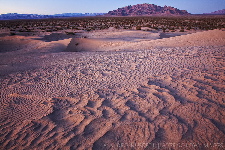
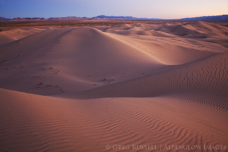
photo of Cadiz Sand Dune complex at sunset; the rolling sand dunes have a slight purple color, and the southern horizon displays sunset colors
Cadiz Dunes Wilderness, January 2018
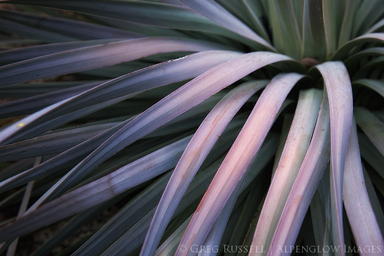
Yucca, San Jacinto Mountains, January 2018
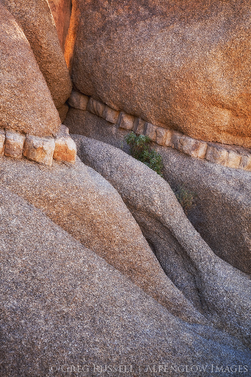
Small scene, Joshua Tree National Park, January 2018
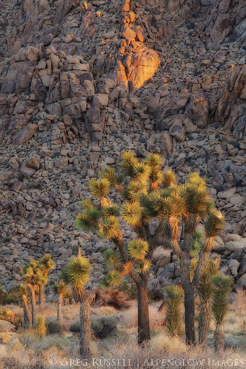
Photo of Joshua Trees at sunrise with a boulder pile in the background. Joshua Trees are a characteristic species in the Mojave Desert, which covers approximately 28% of California's landmass.
Sunrise in Joshua Tree National Park, January 2018
Cadiz Dunes Wilderness, January 2018 (Rarely do two images from the same place make my year in review, but this evening was simply magical.)
Sunset, Mojave Desert, California, December 2018
Sunset, Orocopia Mountains Wilderness, December 2018

Past images of the year:

2010 | 2011 | 2012 | 2013 | 2014 | 2015 | 2016 | 2017

2017 year in review

Friday, December 22nd, 2017

After 15 years of living in southern California, 2017 was one of the most dynamic in terms of weather that I can remember. January rolled in with one storm after another, dropping rain and snow on an almost continuous basis (the Sierra Nevada saw record-breaking snow depths). As I write this, we’re anxiously awaiting our first rain of the season. Our infamous Santa Ana winds have been blowing hard on a regular basis helping to fan the flames of the largest wild land fires in state history. What a difference a year can make!

To some extent, my favorite images of 2017 mirror the dynamic weather of this past year. I was able to revisit some favorite locations in new weather and discover new ones. Some highlights of the year included a phenomenal January day in Joshua Tree National Park (easily one of my most enjoyable of the entire year), a backpacking trip to the Sierra Nevada with Jackson Frishman and our sons, and discovering the Utah’s Tushar Mountains with Heather. In addition, I made some new friends which is always welcome! Those are just a few of the many great things that happened in 2017; there weren’t many lowlights.

As a photographer, I spent a lot of time this year asking myself what I want the world to hire me to do. If you’ve followed my blog this year, I’ve been a clear spokesman for public land, and as we move in to 2018, expect more advocacy for our special wild places. I try my hardest to not jam political views down my viewers’ throats; my goal is simply to share what is out there, because we can’t cherish what we don’t know exists.

To that end, I launched The Wilderness Project this fall. The goal is to showcase the federally-designated wilderness areas in Riverside County, California–my home. There are nineteen total, so this project will be ongoing, but I hope you’ll follow me on my journey by subscribing to email updates at the above link. I’ve already discovered some wonderful things about this county that I didn’t know existed before. I guess you can teach an old dog new tricks.

I hope you enjoy these ten images! I feel that they represent the year well. I’ve also included a couple of ‘honorable mentions’ or bonus images at the end. Be sure to see my past images of the year at the end of the post.

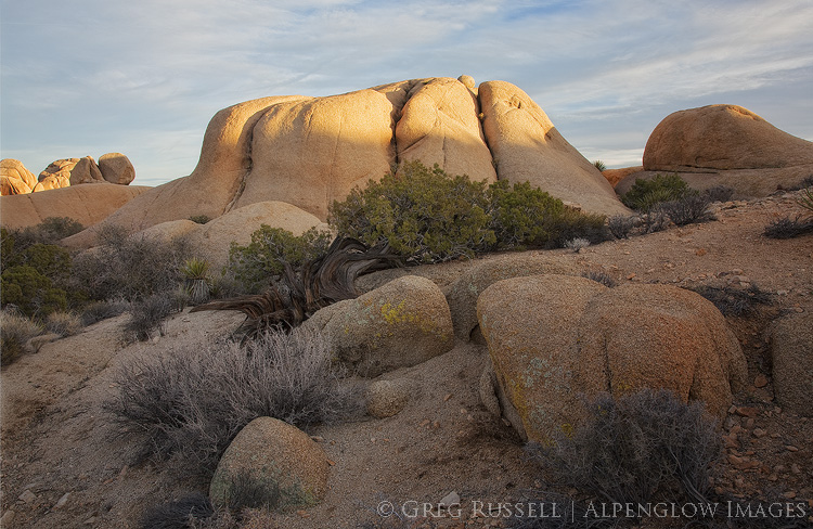
photo of rocks and bushes as the sun sets in joshua tree national park

Winter sunset in the desert


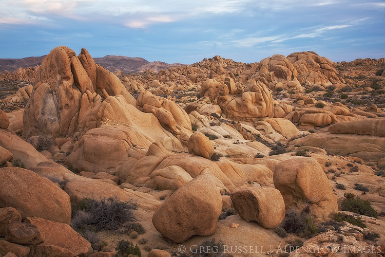
photo of large monzogranite boulders in the Jumbo Rocks section of Joshua Tree National Park at sunset. The sky is a dark blue, with hints of a winter storm, and the boulders are glowing with a golden-orange color.

Stormy sunset in Joshua Tree


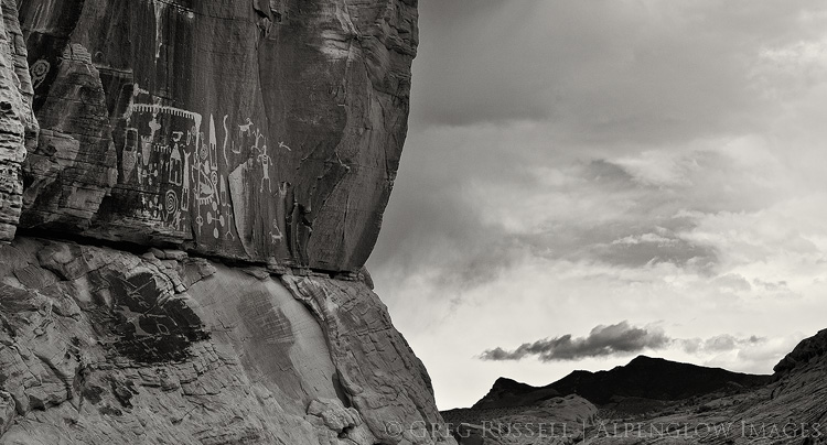
photo of native american rock art in southern nevada

Desert sentinels


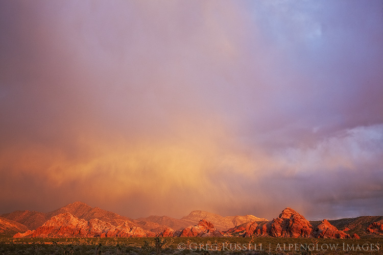
photograph of sunset after a rain storm in gold butte national monument

Thankful for rain


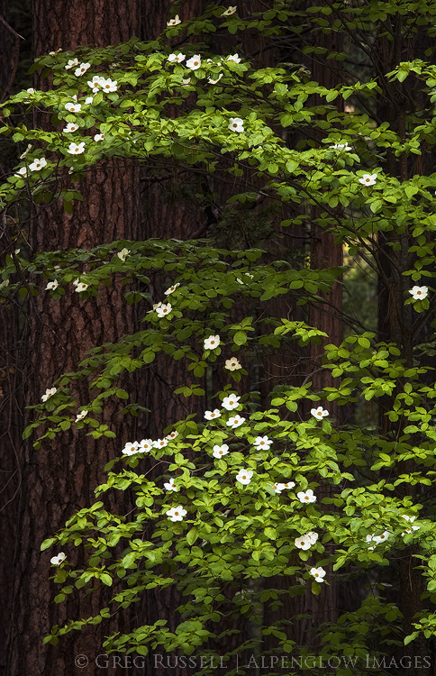
photo of dogwood blossoms in Yosemite Valley California

Dogwoods


black and white photo of Ship Mountain in Mojave Trails National Monument at sunset

115°F at sunset


detail of a high altitude hillside in the tushar mountains of southern utah

Autumn in the high country


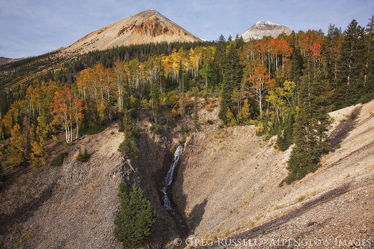
photo of a small waterfall and colorful aspen trees in front of two mountains peaks in utah's tushar mountains

The beginning of fall color


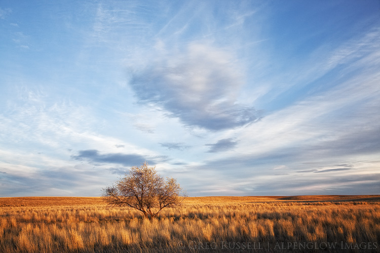
Photo of a lone tree on the prairie at sunset near Hawk Springs Wyoming

Lone tree in the prairie


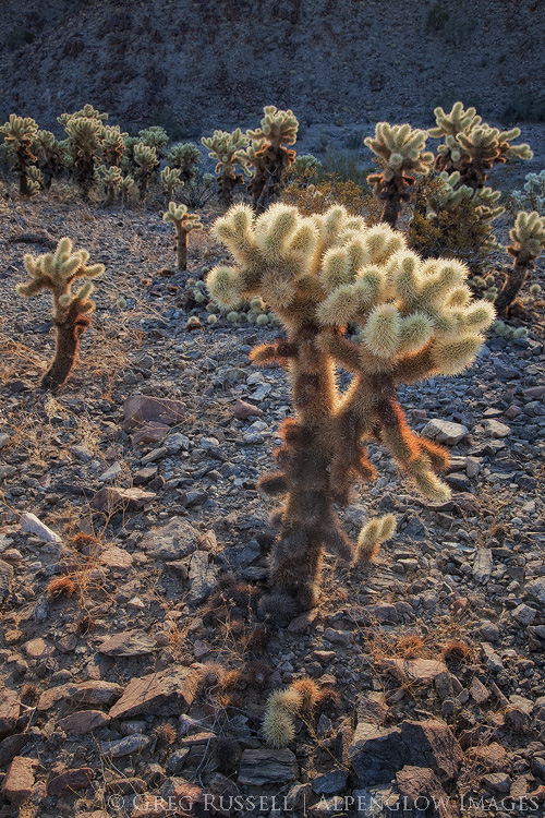
photo of 'teddy bear' cholla cacti backlit by the morning sun, giving them translucent halos.

Ending the year back in the desert

Honorable mentions:

photo of the white mountains in California at sunset, with a cloud in the sky and the mountains pink from the setting sun.

In January, Heather and I got away for a weekend to enjoy snow and hot springs (more of the latter than the former). We were able to sit in a hot spring and enjoy this awesome sunset over the White Mountains.


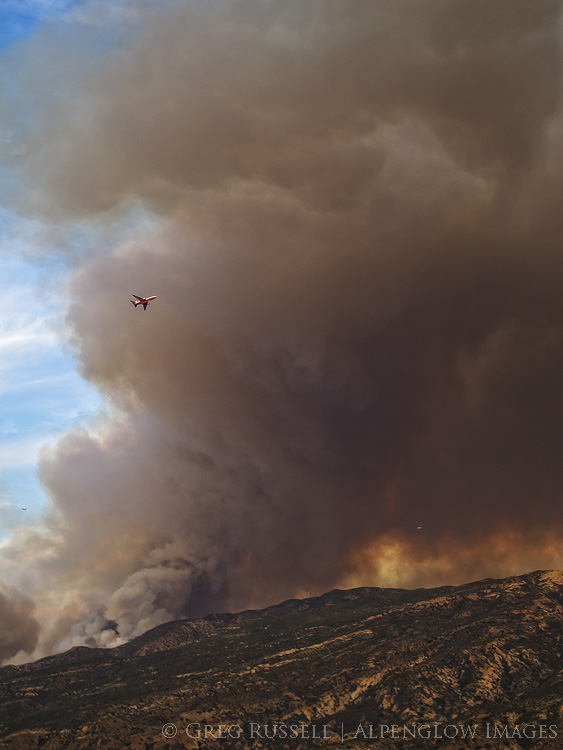
Photo of an air tanker flying by a large plume of smoke from the Canyon Fire in Orange County California, September 2017

Sign of the times: an air tanker flies by a large plume of smoke after dropping its load of fire retardant. Orange County, California, September


Past images of the year:

2010 | 2011 | 2012 | 2013 | 2014 | 2015 | 2016

Saying Goodbye

Wednesday, November 22nd, 2017

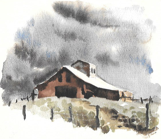
On Veteran’s Day, my grandfather passed away. He was 92 years old, a WWII veteran and served in two branches of the armed forces during his life (the Marines and Army Air Corps). However, his main career–for nearly 40 years–was as the art teacher in his small town in southeastern Wyoming. A talented watercolorist and sculptor, he drew his inspiration from the natural world around him: wildlife, old barns, and the landscapes of the plains of southern Wyoming.

watercolor painting of an abandoned barn on a hill with ominous grey skies behind it

As a kid, I spent a few weeks each summer visiting my grandparents. We fished almost daily and never missed a baseball game on TV. Indeed, some of my best childhood memories were made with my grandparents, and because he never lost his youthful playfulness, my grandpa was easily my best friend during those summers.

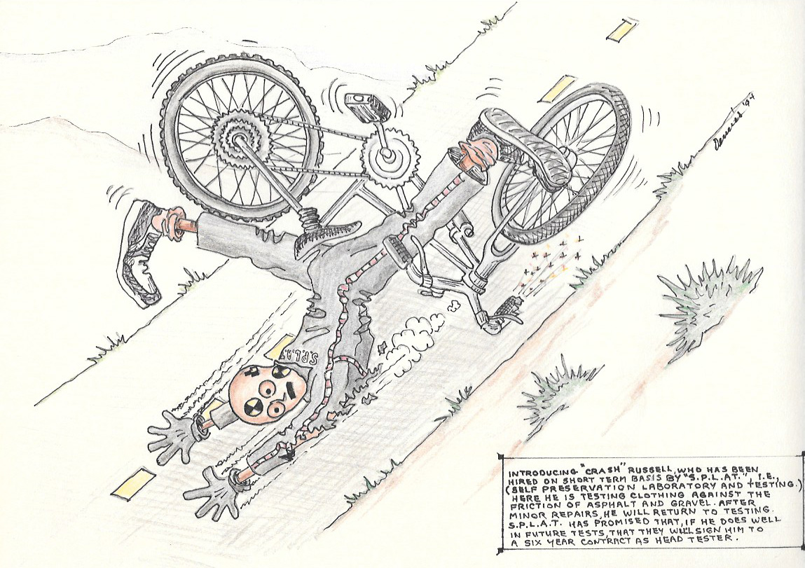
Also, because he was perpetually a kid at heart, he was often caught drawing cartoons of friends–and me–often at our worst. Teasing was something you adapted to quickly in our family because it was relentless.

cartoon of a crash test dummy in a bicycle accident

My Grandpa was incredibly good at poking fun at people with his art. He had a way of making painful things (like bicycle accidents) seem funny.

Of course things change, and I grew older. I attended college at the University of Wyoming and visited my grandparents a few times a semester. After moving to California to attend graduate school, however, my visits became more infrequent. Going back to visit them, the landscape I remembered as a child seemed different: smaller and more compact. Not as wild as I once thought. But the lakes we used to visit to fish still brought happy memories.

Photo of a lone tree on the prairie at sunset near Hawk Springs Wyoming

Last week I traveled back to Wyoming for my Grandpa’s memorial service. The next day, we spent some time visiting a few of the places that were important to me as a kid. Although the ability to draw seems to have found a genetic endpoint with my Grandpa, it was nice to make a few images with him on my mind.

There’s a certain comfort in knowing someone is there, even if you can’t always see them. Now that he’s gone, there’s definitely a hole that needs filling and he’ll be dearly missed.

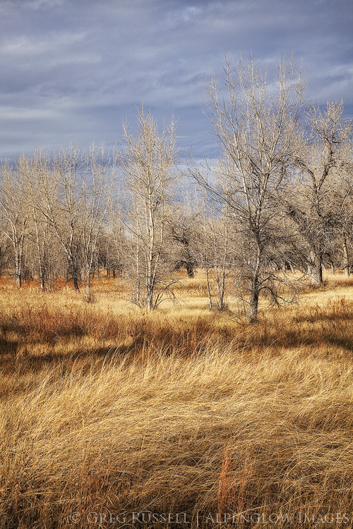
photo of leafless cottonwood trees and tall grasses in fall colors along the platte river in western Nebraska

Closing of the Mountain Light Gallery

Sunday, October 1st, 2017

Last week, the Mountain Light Gallery in California’s eastern Sierra announced it is closing its doors. Showcasing the work of photographers Galen and Barbara Rowell, the Mountain Light had been a standard stop for many photographers, hikers, and tourists stopping through Bishop since they first opened their doors in 1983. To say I was taken aback by this announcement is an understatement. Gary Crabbe, a past employee of Galen’s, shared his views on the closing of Mountain Light in his blog. I can’t begin to replicate Gary’s sentiments, but I wanted to share a bit of my history with Mountain Light.

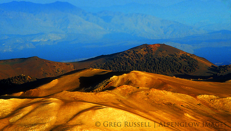
photo of a barren mountain landscape with late day sunlight with receding mountain ridges behind it

Galen Rowell was a San Francisco Bay Area photographer and climber whose images of the mountains are simply iconic. From his home range, the Sierra Nevada, to mountaineering expeditions in South America and Tibet, Galen’s work set the bar for adventure and backcountry landscape photography. In the days when I cared about such things, his were the images I compared mine against.

On August 11, 2002, on their way home from an expedition through northern Tibet, Galen and Barbara were flying into the Bishop airport when the plane they were in crashed, killing both of them. The same day as Galen and Barbara’s passing is the day I moved from California from Wyoming. I remember hearing the news that day on the radio as I unloaded boxes into my apartment. Not long after that I made my first trip to Bishop (I did graduate work at the White Mountain Research Station whose offices are in Bishop). The gallery was one of the first places we stopped. Galen’s images were always inspirational and moving, a grand welcome to the Golden State.

Perhaps most importantly, Galen’s was the first photography I became familiar with that had a “voice,” and I’ve often used his work as an example when trying to describe this somewhat abstract concept. Galen’s presence in his images was evident the moment you step foot in the gallery. His sense of adventure, eye for the subtleties of light, love of life, and even his devotion to his wife are all palpable when you walk through its doors. I have never gone to the eastern Sierra without stopping in at Mountain Light Gallery and I have never walked out of there without feeling a little choked up. Like the Rowells, their gallery will be truly missed.

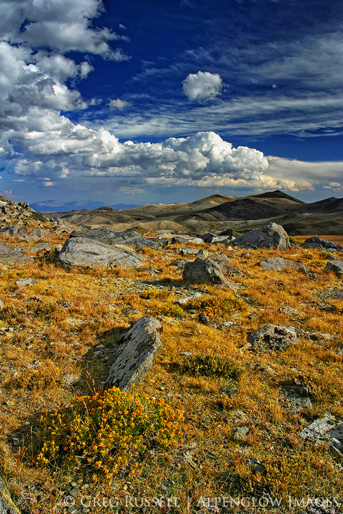
photo of yellow grasses on a high altitude plateau with peaks in the distance and white cumulus clouds in the blue sky above

The images in this blog post are throwbacks to my graduate school days (probably both are from 2003 or 2004). They are scanned Fuji Sensia slides from the Barcroft Plateau in the White Mountains not far from Bishop.

The Wilderness Project

Friday, September 15th, 2017

panoramic image with text and colorful mountains at sunset

The Wilderness Project is my current photographic project, launched earlier this month. Over the next several months, I will document the nineteen federally-designated wilderness areas in my backyard, Riverside County, California.

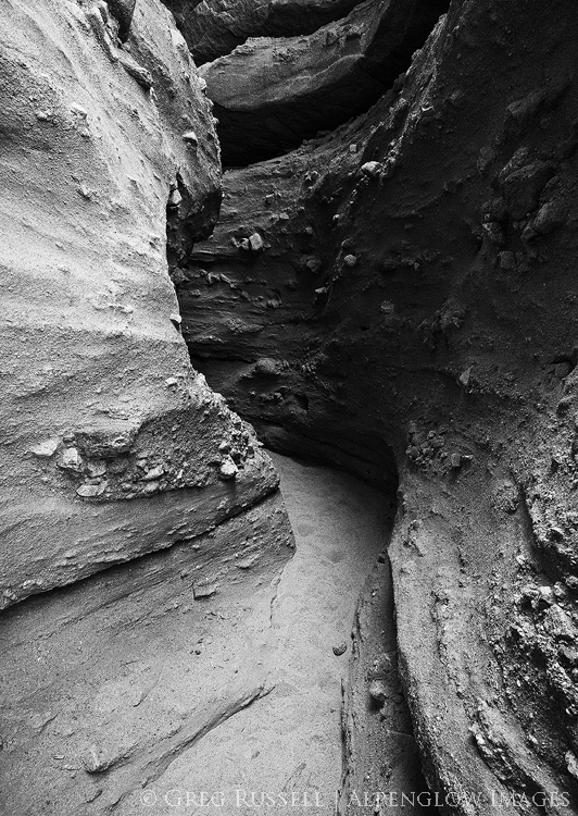
black and white photo of a slot canyon in the mecca hills wilderness of southern california

Mecca Hills Wilderness

Over the last year or so, I think we’ve become acutely aware of our public lands and what they have to offer. Our national monuments, especially, have garnered much attention, but there is still so much out there to see. The public lands-advocacy group Backcountry Hunters and Anglers has declared September Public Lands Month, and I thought it was apropos to launch this project in September. What’s more, many of the wildernesses in Riverside County were created with passage of the California Desert Protection Act, which turns 25 in 2019.

Finally, perhaps most importantly, I wanted to launch this project to know my own surroundings better. As Kenneth Brower (son of famed conservationist David Brower) writes, “There is a language for terrain, just as there is a language for art.” Understanding that language is crucial for the landscape photographer who wants to create personal, introspective images.

Some of the wilderness areas in Riverside County are ones you’ve been to. In fact, the most popular one–the Joshua Tree Wilderness–is one you have likely visited. The San Jacinto Wilderness is another popular hiking destination. However, there are others that you likely haven’t heard of. I recommend starting here as you orient yourself to my project, and consider subscribing to The Wilderness Project by email to get new blog posts as I visit the far-flung reaches of Riverside County.

Thanks for coming along on this journey! Hopefully it will inspire you to get into your own backyard to discover some of its hidden gems.

Kids & Photography

Wednesday, August 23rd, 2017

In my last post, I mentioned that Jackson Frishman and I managed to get our kids (two boys, ages 5 and 9) out for a short backpack in the Sierra last week. Backpacking with kids has its challenges and rewards, and I wrote about a few of them when my son was much younger. He’s 9 now, and can carry his own backpack (with a few small things in it), and asks often to go hiking, camping, or backpacking. Although I haven’t been able to get out with him as much as I’d like, this trip seemed fun and appropriately timed.

A couple of things I noticed on this trip were that it was great for him to have another kid to hike with. Having someone who hikes on your own level is motivating for anyone, especially little people. Additionally, having things to distract the boys was essential. Jackson had a deep pocket of jelly beans for them, and I packed a book in for my son so he could unwind after the hike, as well as a root beer for an after dinner treat. Finally, a good night’s sleep is essential. Although he was tired and–admittedly–a bit grouchy after our hike into our campsite, my son was a different kid after a solid rest.

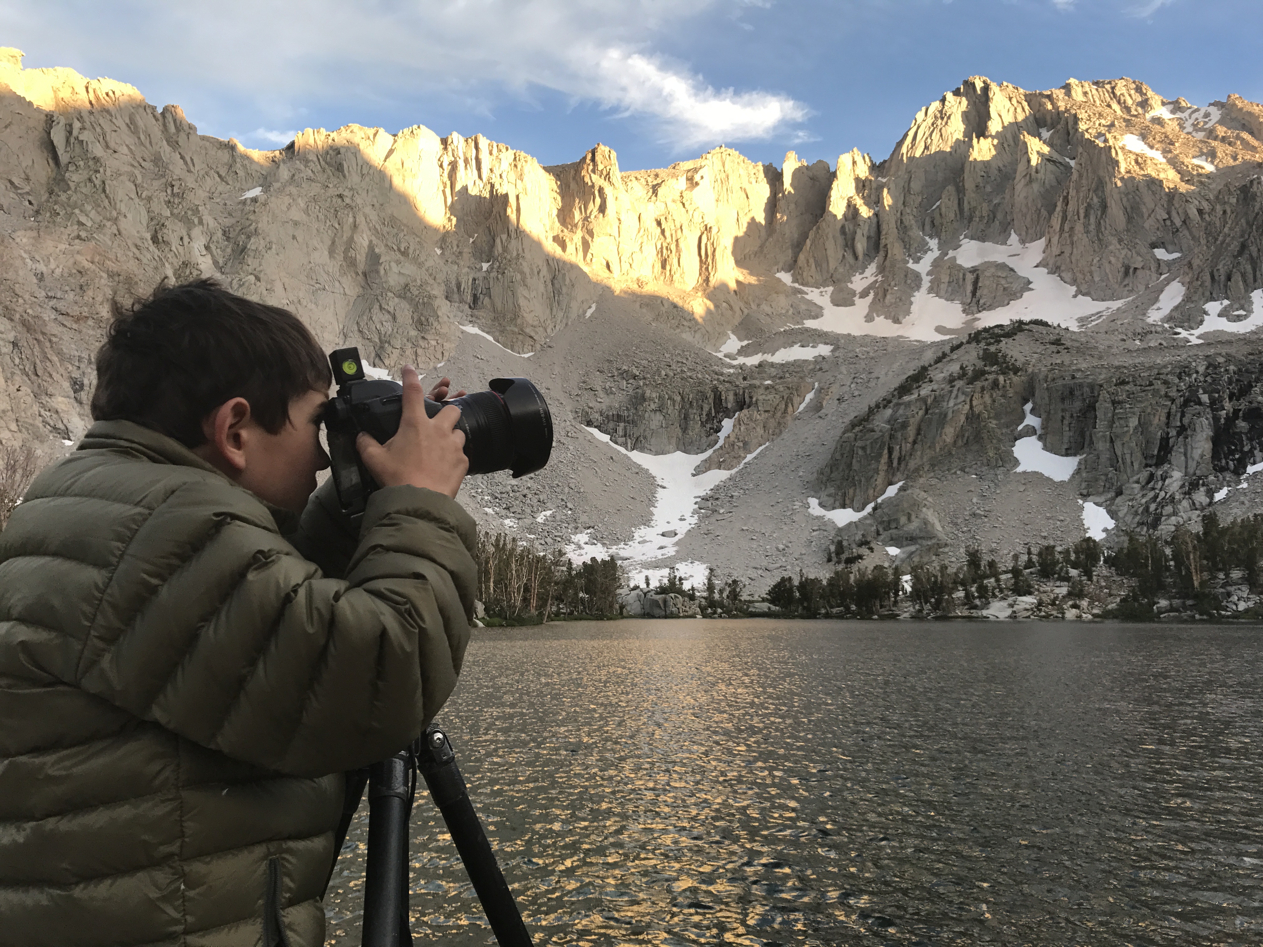
Perhaps more than anything, finding a way to share the experience is the most important part of engaging kids outdoors. On this trip, my son asked if he could take some photos with my camera. I was happy he wanted to try, so I metered for him, but let him compose and expose his own images. When we got home, I saw that one image was one I would have liked to claim for my own! I edited it, and posted it below. So, really I’m just bragging about my kiddo here, and am happy he’s taken an interest in a form of self-expression. Make sure to foster this in your own kids, no matter how it shows up.

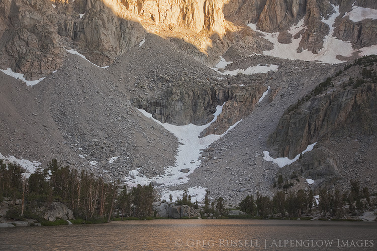
photograph of snow, the flanks of University Peak, and matlock lake at sunset, in the john muir wilderness of california's sierra nevada mountains

a nine year old boy wearing a down jacket takes a photo with camera and tripod at a lake in the sierra nevada mountains of california

Thriving Communities

Monday, July 10th, 2017

This is my eleventh hour letter to the Secretary of the Interior. As Edward Abbey wrote, my vox clamantis in deserto, my voice crying in the wilderness.

Today is the final day to submit your comments on Executive Order 13792, which orders a review of all national monuments established since 1996. This review is to ensure that they were created in accordance with the original intent of the Antiquities Act of 1906. The most pressing national monument “under review” is Bears Ears, although there are many others, several of which are in the West. Please make your opinion heard; it is the only way for the the Secretary to hear our thoughts on this matter. You can read my other thoughts on this in these blog posts (here and here).

Comments may be submitted online at http://www.regulations.gov by entering “DOI-2017-0002” in the Search bar and clicking “Search,” or by mail to Monument Review, MS-1530, U.S. Department of the Interior, 1849 C Street NW, Washington, DC 20240.


Mojave Trails National Monument

With July 10th looming closer, I decided to spend the part of the weekend in the desert, photographing monsoon thunderstorms. Perhaps more than that, I simply wanted to be out on my public lands. After considering where the storms were moving, I ended up on the western edge of Mojave Trails National Monument, one of the monuments currently under review by the Department of Interior. While the scenery did not disappoint, a small foible of my own began a series of events that has caused my view of our National Monuments to evolve.

Mojave Trails is just a little less than 2 years old, and protects a very large swath of the Mojave Desert in southern California. The Cadiz Dunes and parts of historic Route 66 are two highlights of the monument, but there are countless other mountain ranges and valleys, each with their own bits of natural wonder and history. The casual observer may see only miles of desolate, lonely creosote in Mojave Trails. However, a 2014 study published in the scientific journal Nature identified the Mojave Desert as a huge sink for carbon–in other words, the plants here do an incredible job of removing carbon from the atmosphere, thus curtailing global warming. Uninterrupted patches of desert are even more important than we originally thought.

photo of mountain ranges and valleys in Mojave Trails National Monument

A Sandy Situation

After entering the monument, I pulled off the highway, ate lunch, and continued down a long dirt road. My plan was to get as close to Ship Mountain as possible, for views of the Sheepshole Mountains, as well as the Cadiz Valley to the east. With temperatures well over 100 degrees, I was content to enjoy the air conditioning while I enjoyed the scenery.

Like most backcountry roads in the Mojave, I encountered several patches of sand, which I floated through effortlessly. Then, I got to the big sand pit. As soon as I realized I shouldn’t be there, I put the car in reverse and floored the gas. All I got was a giant dust cloud. I realized I was stuck immediately, so I used some wood I found to try to build a bridge for my car’s tires. Still nothing. I found something I could dig with, and actually got to a hard bottom of the sand, but my tires still couldn’t find purchase. I tried everything I could think of, but it soon became clear that I needed help.

It’s time for me to dine on crow for a bit, and admit that I screwed up. Although I normally am very aware of my limits, I was in a 2WD vehicle on a backcountry road, and did not have the proper equipment (like a shovel, or an air pump so I could deflate my tires) to extract myself. However, I did have a full tank of gas (for air conditioning), a GPS messenger, and lots of water and food. More importantly, I had cell service.

I called my girlfriend to ask her to call AAA for me, hoping they would be able to send a wrecker to pull me out. Of course, the nearest service wanted $1500 for their time, so that wasn’t an option. Still, my girlfriend and her dad drove out to pick me up, and we left the car for the night.

On our way home, we stopped for dinner, and happened to ask our waiter (somewhat jokingly) if he knew anyone with a 4×4 who would be willing to pull me out. Turns out he did! We got into contact with an entire network of good samaritan off-roading enthusiasts who pull people like me out of sticky situations for free. I posted my GPS coordinates and a description of my problem on one of their forums and within minutes I had several people willing and ready to help. The next morning I met two servicemen stationed in Twentynine Palms, and they had me out within minutes. We even stopped on the way to my car so they could help another motorist in need.

The cost of their goodwill? A handshake.

Our National Monuments as common ground

Even today, writing this, I’m blown away by their simple willingness to help, and wanting nothing in return. They would have driven anywhere to help me, and one of them even offered to come help me at 3am, before he realized I had gotten a ride out for the night. This neighborly goodwill and cooperation is what Daniel Kemmis writes about extensively in his excellent book, “Community and the Politics of Place.

Although I likely won’t cross paths with those men again, I am thankful for their selfless willingness to help. I am also reminded of the common ground that brings us together: our public lands. While they enjoy a different activity than I do, our monuments and backcountry views bring both of us outdoors, together.

In the same way the Mojave Desert plants create a healthy ecosystem, there is another community of outdoorsmen that is simply thriving. In a time when we are feeling idealogical and political rifts more than ever, I believe it’s more important than ever to seek common ground, make connections, and make our collective voices heard.

There are only a few hours left to do just that. Mojave Trails, just like the other monuments under review, deserves to be protected for countless reasons. Have you submitted your comments yet?

black and white photo of Ship Mountain in Mojave Trails National Monument at sunset

Public Comments on the Grand Canyon Escalade Project

Thursday, September 1st, 2016

Earlier this week, Bill 0293-16 came before the Navajo Nation Council for approval. This bill contains the much-contested Grand Canyon Escalade Project, which is a massive development project on the east rim of the Grand Canyon near Grand Canyon National Park and the confluence of the Colorado and Little Colorado Rivers. Grand Canyon Escalade would be destructive on several levels, and I believe it should be opposed. The nonprofit group Save the Confluence has much more about the project on their website. 

The Navajo Nation Council is asking for public comments on the bill until 9/3/16 (which is not much time). You can submit your comments directly to the council by emailing them at comments@navajo-nsn.gov, with Bill 0293-16 in the subject line. 

Here are the comments I sent the council regarding Grand Canyon Escalade this morning.

Esteemed council members:

I am writing regarding the proposed Grand Canyon Escalade Project, which is up for approval as part of Bill 0293-16 and is currently before you.  As I understand it, the bill asks for approval of several items, including significant development of an area on the Grand Canyon’s east rim, near the confluence of the Colorado and Little Colorado Rivers, near the border of the Navajo Nation and Grand Canyon National Park. I understand this project would bring tourism and revenue to the Navajo Nation and as a non-tribal member of the community, I cannot speak for what the confluence means to the families and clans who live west of Highway 89. Nonetheless, I submit my comments for your consideration.

As places go, the Grand Canyon has faced its share of threats, and fortunately it has dodged some of the biggest ones (like the Bridge and Marble dams, whose progress was halted permanently in 1969). Today it seems like the West along with many other concerned people around the world is again holding its breath to see how the Grand Canyon Escalade Project will play out.

In 1993, I came to the Grand Canyon for the first time with my Boy Scout troop from Farmington, New Mexico. We backpacked into the Canyon from the South Rim; it was my first backpacking trip and I made many lifelong memories. Since then, I have become an avid backpacker, even taking my son into the wilderness for the first time when he was two. In an increasingly busy world, wilderness provides solitude, solace, and sanctuary. I have returned many times to the Grand Canyon since 1993 and in 2013 (twenty years after my first visit) I again found myself backpacking the Grand Canyon, only this time I was hiking to Cape Solitude to see the confluence–and the proposed site for Grand Canyon Escalade–myself.

The trip was impactful for me, and it became even more clear why the Grand Canyon Escalade simply cannot happen. During the entire trip–which comprised over 40 miles of hiking–we did not see an another human, not even another human footprint. We crossed paths with a herd of elk several times, but beyond that the silence was deafening and the dark night sky mesmerizing. The loneliness was aching and beautiful. Indeed, the area of Grand Canyon National Park that Cape Solitude lies in only sees about 50 visitors a year, which is a far cry from the much more busy main corridor along the South Rim; it feels like it is a world away.

Grand Canyon Escalade would be putting undue stress on an ecologically sensitive area and destroying one of nature’s cathedrals that has been billions of years in the making. This part of the Grand Canyon doesn’t need a lot of visitors for it to be special. Wilderness is like that. As much as we need food or water, I believe we need wild places. We do not need to visit them often, and when we do they should be difficult to get to, but simply knowing these places are there calms the nerves in the hustle and bustle of city life.

One night, decades ago, the famous Western author Edward Abbey sat at Cape Solitude and wrote, “We must preserve, not obliterate, what still remains of the American wilderness, the American hope, the American adventure.” Restraint is one of the rarest of virtues, but I ask that you exercise it here, thus preserving the east rim of the Grand Canyon, untouched and unmarred, for future generations.

Respectfully,

Greg Russell

Sunrise at the confluence of the Colorado and Little Colorado rivers the site of the proposed Grand Canyon Escalade project

The Confluence of the Colorado and Little Colorado Rivers

Backpacking a wilderness of rock

Monday, April 18th, 2016

“The upper Escalante Canyons, in the northeastern reaches of the monument, are distinctive: in addition to several major arches and natural bridges, vivid geological features are laid bare in narrow, serpentine canyons, where erosion has exposed sandstone and shale deposits in shades of red, maroon, chocolate, tan, gray, and white. Such diverse objects make the monument outstanding for purposes of geologic study.” – Presidential Proclamation 6920 (establishing the Grand Staircase-Escalante National Monument), September 18, 1996


A wilderness of rock.  That’s what I imagined the historic Boulder Mail Trail would be when my dad and I set off to backpack it last month.  Indeed, to paraphrase Maynard Dixon, the upper Escalante Canyons expose the earth’s skeleton in a beautiful, if austere, way, exposing the earth’s skeleton.

The Boulder Mail Trail (which isn’t much of a trail at all), is the historic mail delivery route between the hamlets of Boulder and Escalante, Utah.  Highway 12, which now connects Boulder and Escalante, wasn’t paved until the 1970s, so the Mail Trail was the quickest route for quite some time.  All along the route, the old telegraph wire connecting these towns is also very obvious, although it’s fallen down in a few places.  The Mail Trail now lies almost entirely within the Grand Staircase-Escalante National Monument.

A couple of months ago, my dad asked if I wanted to go backpacking this spring, and of course I jumped at the chance.  A while back, I wrote a blog post about January trips with my dad, and I continue to feel really fortunate that my parents are both willing and able to be active.  It was our first backpacking trip together in many years, but it ended up being very fun, and just the right length for two old “geezers.”

For early spring, the weather was what one can expect on the Colorado Plateau: windy and cold.  Out of the wind in the sun, it was pleasant, but it was never too hot.  When we set off from the trailhead outside of Boulder, snow flurries were ducking in and out of the canyons on the Aquarius Plateau to the north, and looked like they might reach us within a few hours.  Dark skies to the west seemed to promise wet weather as well.  That’s better than boring blue skies, though, right?

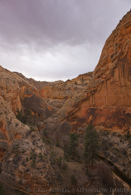
Box-Death Hollow Wilderness, Utah

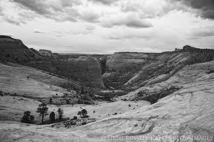
The Mail Trail is more than just a walk across sandstone, as it crosses a few fairly large tributaries of the Escalante River.  The most significant of these is Death Hollow, which despite the name is known for being a fun backpacking trip in its own right (save for the poison ivy it is also well known for!) and is about halfway along the Mail Trail. Death Hollow is surprisingly lush (hence the poison ivy), and is a wonderful riparian habitat tucked neatly away into the desert. We ended up camping in the bottom of the canyon amongst giant ponderosa pines because the weather was just spunky enough that we didn’t want to get blown off the rim and into the night as we slept.  We ended up falling asleep early, and despite a small sprinkle of rain and major sandblasting from the wind, the storm never really developed.

Box-Death Hollow Wilderness, Utah

The next morning, we hiked about a mile down Death Hollow before the route continued out the west side of the canyon, and towards Escalante.  We were able to see Escalante within a few hours, but it took much longer to wind our way down through the sandstone and back to the car we had parked at that end of the Mail Trail.  A quick run up to Boulder for the other car, and a beer (or two) at Hell’s Backbone Grill topped off the trip.

Box-Death Hollow Wilderness, Utah

Despite the increased popularity of the Escalante area since President Clinton included it in his massive 1996 National Monument, the upper canyons of the Escalante River seem to be less visited than other more popular areas along the lower river.  It was nice to be able to experience a little bit of history, wilderness, and complete solitude for two days.  That said, solitude shouldn’t come as that big of a surprise–there isn’t a traffic signal for at least 100 miles from Escalante, and this is one of the most remote and rural places in the lower 48 states.  Combine that with world class scenery, and this wilderness of rock is truly an area to be cherished.

Box-Death Hollow Wilderness, Utah